Developing report, November 1: Flooding along Oak Creek prompted evacuation orders in parts of Sedona, Arizona, on Sunday, and state crews conducted rooftop rescues, according to county information and timestamped local reporting. Conditions, road access and evacuation instructions can change; the dated notices below are not a live map of every affected property.
Coconino County's alert dated 10 a.m. November 1 identifies Sedona evacuation zones 8, 9 and 10 as GO areas and directs evacuees to Sedona Red Rock High School. The notice warns against crossing roads with running water. Readers should check the current county alert and local instructions rather than infer their zone from this article's photograph or a general neighborhood name.
Rescues continued into the afternoon
KNAU's 2:47 p.m. Mountain Standard Time report says Governor Katie Hobbs' office reported six rooftop evacuations in Sedona by Sunday afternoon. The governor's press secretary told the station that Department of Public Safety Air Rescue crews were returning to help more residents at about 2:20 p.m.
KNAU also reports that state transportation officials were assisting with debris removal and that the State Emergency Operations Center had been activated at a remote level 2. Those are reported response measures, not a final accounting of everyone needing help. This article does not establish a complete injury, damage or rescue total.
An expired warning is not the same as an all-clear
The county page also reproduces an earlier National Weather Service flash-flood warning issued at 8:15 a.m. and scheduled through 11:15 a.m. Mountain Standard Time. That specific warning period has passed. We are not relabeling it as a newly issued evening warning or claiming it remains in force.
An evacuation notice, a weather warning and a road closure are separate instructions with their own authorities and update times. The expiration time printed on one warning should not be used to declare that a neighborhood is safe to reenter. Check the relevant current notice rather than stitching together screenshots from different hours.
Use official updates for travel decisions
The Arizona Emergency Information Network collects emergency bulletins, while AZ 511 provides road alerts. These links are more useful for a changing route or closure than a permanent list copied into a news article. Follow local emergency instructions for the place you actually occupy.
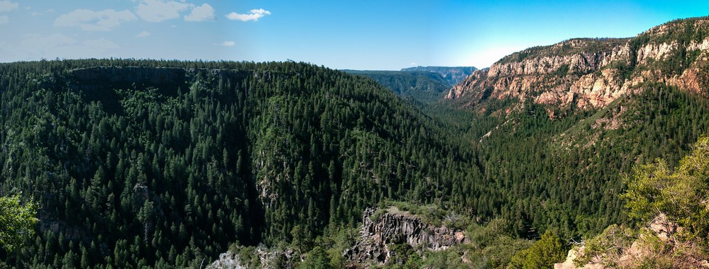
DJF's cover is an older Forest Service panorama of Oak Creek Canyon. It shows the region, not today's water levels, a rescue location or an evacuation boundary. Our Current News archive keeps this flooding report separate from the Florida crash and other developing emergencies.
Editorial note: This article draws on the linked sources and may include clearly labeled opinion or unconfirmed reports. We have not independently verified every source claim. Publication does not establish an unconfirmed claim as fact; developing details may change.
Photo: Deborah Lee Soltesz / U.S. Forest Service, Coconino National Forest; rights record; CC0. June 12, 2015 panorama, resized/re-encoded; not today’s flood.

Facts first. Side-eye included.
DJF separates what is confirmed from what is claimed—and tells you why this particular mess is worth your time.