Current-interest safety explainer — October 28, 2026. “Tornado watch” appeared in the U.S. Google Trends four-hour window checked for this update. That search interest does not establish that a tornado has occurred at any particular location. This article explains the alert terms; it is not a live warning map or confirmation of current conditions in your county.
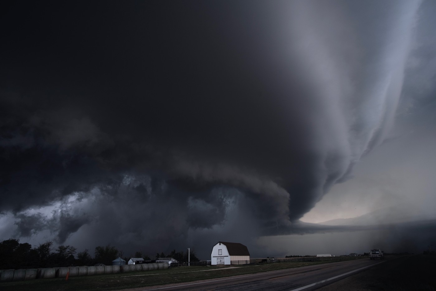
The photograph is a historical Kansas supercell, not tonight's weather. For active alerts, use the National Weather Service and your local emergency officials. Conditions and warning areas can change faster than a general news article.
Watch: prepare for the possibility
The NWS explanation of tornado alerts says a watch means tornadoes are possible in and near the watch area. Watches cover broader areas and are issued by the Storm Prediction Center. Review your emergency plan, know your safe location and be ready to act if a warning is issued or a tornado approaches.
Warning: act on the danger
A warning means a tornado has been sighted or indicated by radar, according to NWS guidance. The agency advises moving to an interior room on the lowest floor of a sturdy building and avoiding windows. Its guidance for people in a mobile home, vehicle or outdoors is to move to the closest substantial shelter and protect themselves from flying debris.
Emergency: the highest alert level
NWS describes a tornado emergency as its highest alert level, associated with a violent tornado and a severe threat to life and property. Follow the urgent shelter instructions in the actual alert. Do not wait for a news headline or social-media clip to catch up with an official warning.
Read the place and time, not just the dramatic word
A screenshot can outlive the alert it depicts. Check the issuing agency, named locations, issue time and any expiration or cancellation. A watch covering a large area does not mean every place inside it has a tornado on the ground. Conversely, a warning for your location deserves attention even if the scene outside still looks ordinary.
DJF is not asserting a casualty count, confirmed tornado track or current Minnesota watch status here. The source for these definitions is official NWS safety guidance; the search-interest observation merely explains why the subject is timely. Find more reporting in Current News.
Photograph credit
Representative file photograph: a supercell thunderstorm in Kansas, May 27, 2019. Mike Coniglio / NOAA National Severe Storms Laboratory. Source, date and public-domain rights record. Resized. This is not an image of the October 28 weather or proof of a tornado.

Editorial note: This article draws on the linked sources and may include clearly labeled opinion or unconfirmed reports. We have not independently verified every source claim. Publication does not establish an unconfirmed claim as fact; developing details may change.
Facts first. Side-eye included.
DJF separates what is confirmed from what is claimed—and tells you why this particular mess is worth your time.